Showing posts with label TfL. Show all posts

Saturday, 27 April 2013

BCS Presidents Report April 2013

If you weren't one of the 200-plus who attended, you missed a fascinating evening at the RGS with Michael Palin. He talked for an hour and I could quite happily have listened for a lot longer as he was so entertaining and the photos which accompanied the presentation were stunning. Clearly Michael is great fan of maps and uses them all the time during his travels. 
For those of you unable to make it, the first half of his presentation was about his passion for maps, the second half, anecdotes illustrated by photographs taken on his journeys. We were extremely lucky to get him to speak to us and thanks must go again to Mary Spence for arranging everything. Mary produced the maps for the book which accompanied Michael’s recent TV series ‘Brazil’. Michael stayed after his talk for the drinks reception and a fair few people managed to meet him, although for others I’m afraid it was a fleeting glimpse as he had to get away, as he was off to Oman the next day. This was certainly one of the highlights of the 50th anniversary celebrations and my new claim to fame is that I have shared a stage with Michael Palin.

Aldermaston march 1963On to this month’s anniversaries and fifty years ago on 6th April the UK Government signed the Polaris Sales Agreement with the US which led to the commencement of the construction of the nuclear submarine base at Faslane on Gare Loch. For many years the full details of this facility were not shown on Ordnance Survey maps, nor were many ‘protected places’ which were thought to be too sensitive to show on publicly available mapping. 
© Google 2013
This practice stopped with the advent of widely available aerial photography and Google now shows the base in "Glorious Technicolor" detail. It was an example of cartographic censorship, a lot of which still goes on today around the world. Yet it still seems a little strange that sites that were very well known or clearly visible, such as the Radomes at Fylingdales were not shown on OS maps. Just under two weeks later, on 15t April, 70,000 marchers arrived in London from Aldermaston to demonstrate against nuclear weapons.


Each year, a telecom market research firm called TeleGeography releases a map of the underwater cables that connect the Global Internet. It was described on the original internet site that I found this on as ‘flat out gorgeous’. The lines trace the paths that the world’s data takes every day, as packets of information zip between the continents. They don’t precisely track the cables’ actual underwater routes, but they do accurately show the land-based points for this massive underwater series of tubes.
At first glance, the lines appear to mirror long-proven global trade routes, with major hubs in the global capitals of New York, Amsterdam and Mumbai. The growth today, however, is in historically under-served regions such as Africa, the Middle East and Latin America. Interestingly not all the hubs are located in the big cities as you would expect. The cables converging on Brazil, land not in Sao Paolo or Rio de Janeiro but Fortaleza, simply because it’s an easier link to the Northern Hemisphere. Another popular destination is Djibouti.
The firm collects the data for the map each year from the private companies that operate the cables. This year’s edition includes 244 cable networks that are either already in service or scheduled for activation by 2014.
The map is available free of charge online in large and interactive formats—and you can also buy a print copy to frame and hang on your wall. But be warned: it is as pricey as a work of art at $250 a copy!


[Tube Challenge Logo]


Can you help? The BCS would like to make an attempt on a world record in our anniversary year. We have searched for a map related one and the best fit is what has become known as the ‘Tube Challenge’ – visiting all 270 London Underground Stations in the shortest possible time. As it is also the 150th Anniversary of the London Underground this seems to be a particularly appropriate one. The current record (at time of going to press) is 16 hours, 29 minutes and 13 seconds, which is thought by the aficionados to be just about the best time possible, but I am sure that the combined resources of the BCS can have a good go at beating it!

As some of the challenge requires running between stations – those at the end of lines predominantly – we need some fit BCS members to actually take on the record attempt, backed up by Mission Control, somewhere in the central London area – again offers to host gratefully received. As some tube stations are closed at weekends it needs to be undertaken on a week day and to include Olympia it needs to be on a day when a service is running from Earl’s Court. Whatever you can bring to the attempt – an encyclopaedic knowledge of bus routes between tube stations? – please get in touch if you would like to be involved.


Maplines is the magazine of the BCS and you may have noticed recently that it hasn’t been published quite on time. We are urgently in need of volunteers to join the editorial team and if you have any publication layout experience that would be particularly useful. If we can get 2 or 3 additional people it will greatly ease the burden and shouldn’t make it too onerous a task. The Society relies on volunteers and it would be great if more members could become involved, so if you’ve always wanted to help but haven’t seen an opportunity, please do get in touch via the website or e-mail me at peter.jones991@mod.uk.

Pete Jones MBE, CGeog, FRGS
25th April 2013

“You want me to sign how many books?!”


---
And finally;
The  6th Annual International Spatial Socio-Cultural Knowledge Workshop, which will be held again at the UK Defence Academy in Shrivenham, on Monday 10th and Tuesday 11th June 2013. The BCS has been offered at stand at this workshop and we are currently looking for volunteers to man the stand over the two days – names please to peter.jones991@mod.uk

Thursday, 31 May 2012

BCS President's Report May 2012

When I was thinking about what I could include in this report my first thought was that not a lot has happened in May but actually it’s been quite busy. BCS was represented at the GEOData event in Dublin on 1 May and this was noteworthy as we are thinking of running a BCS Better Mapping event there later in the year. It could be an important area for attracting new members.
Another successful Restless Earth Schools Workshop was held in Stoke-on-Trent on 9 May and some more of our members, who hadn’t been involved before, took part. We had a stand at the Esri UK one day Conference in London on 15 May and there was another GEOData event in Manchester on 17 of the month and on the 28th  we had a UKCC meeting in London.

Recently I had a week in Redlands at the Esri HQ and Ken Field and Linda Beale very kindly hosted a party so that I could say ‘thank you’ to all my friends there who have helped me over the last 15 years – there are about 6 BCS members over there now. On Tuesday, 29th I’m off to Dresden for the IMTA(EAME) Conference. There’ll be quite a few BCS members there too and, of course, the next ICA Conference is in Dresden in August 2013, our 50th Anniversary year. We hope to share a stand there with Maney’s.

You’ll be interested to know that we are in the initial stages of re-branding BCS which we hope to have completed by the end of the year ready for 2013. Whatever happens it’s bound to be controversial, there’s bound to be lots of ‘huffing and puffing’ but we need to do it to help with our recruiting drive and give BCS a ‘fresh face’.

Our next big event is the BCS Symposium, 13-15 June. There is still time to book your place and I’m delighted to say that the numbers are up on last year. On Wednesday morning there will be a Restless Earth Workshop for schools in the area and the GIS SIG meets that afternoon. Just a further reminder, the exhibition opens at 5pm on Wednesday 13 June with a drinks reception and is followed by a talk from Claire Dobbin, Head Curator of London Transport Museum which promises to be fascinating. A very special ‘thank you’ to our Symposium sponsors for their support: Cadcorp, Esri UK, Leica Geosytems, Europa Technologies, Victoria Litho, Newgrove, Ordnance Survey, Star-Apic and Global Mapping.

After the Symposium there is a Better Mapping event in Leeds on 19 June and a Better Mapping 2 in London on 26 June followed by a BCS Council meeting in London on 28 June. This Council meeting will be preceded as usual by a Programme Committee meeting which this time will be focusing on the 2013 BCS 50th Anniversary events. It’s only 7 months away.

Let’s hope this sunny weather continues.
Best Wishes
President of The British Cartographic Society

Friday, 18 February 2011

Maps... in Dubai?

With a friend having reloacted out in Dubai in July last year, trying to send her cards for birthday and Christmas proved difficult as she reported back that although her flat was in a well established area of Dubai, near the Mall, her postman was never able to locate her. It is routine that you have to draw a hand sketched map of where you live and hand it over to Karama Central Post Office so that the postie can use it to find you!
"Stores often include a form for drawing a map to your home to avoid confusion". Source: cominganarchy.com

I've been told that it's due to so many new roads being built and therefore it is very difficult to find your way around... Well now that RTA (Roads&Transport Authority) has published some bus maps does this mean the residents of Dubai will have a network to rely on?

"The Dubai Roads and Transport Authority (RTA) has started displaying improved and easy to read bus routes, network maps and timetables at the bus stops and main bus stations across the emirate." http://gulfnews.com


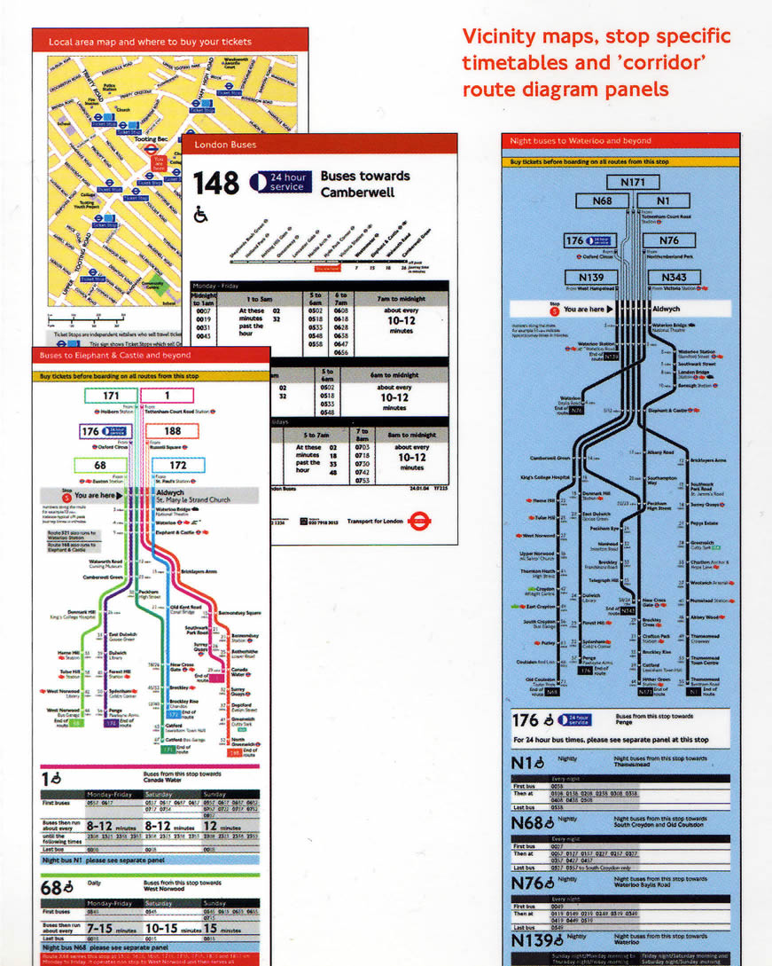
That one on the right looks familiar 'ey? (See TfL's London Corridor Route Diagrams)

Blog List