Showing posts with label Journal. Show all posts

Saturday, 19 November 2011

WHY JOIN BCS?

Anyone with an interest in maps can join the British Cartographic Society (BCS). You don’t have to be a cartographer; you don’t have to be a map maker. You may just like maps or be involved in the broader mapping industry or design. After all, cartography is an art and that art can be enjoyed and developed by many. The primary role of the BCS is to promote the art of good cartography.

BCS is a broad church with professionals from academia, government, military, business and all shades between. So, you can join BCS as an individual or it may be that corporate membership is more appropriate. Corporate members get a free stand space at the Society’s annual symposium and can submit articles for publication about their products to the Maplines team who edit the Society’s magazine. Individuals can submit articles too.
   
Maplines is the Society’s magazine and 3 editions are produced each year. The Cartographic Journal has 4 editions a year and is peer reviewed. Consequently it enjoys an international reputation for very high quality articles about all aspects of cartography and is a major source of income for the Society. Cartographiti is the magazine of the Map Curators’ Group (MCG) which usually meets twice a year.

The MCG is just one of 4 Special Interest Groups (SIGs) which are open to Society members and others with a specific interest. The GIS SIG also meets twice a year and concentrates on issues that are of special interest to the expanding GIS community. The Design Group focuses on all aspects of cartographic design, meets twice a year and publishes articles in the Maplines magazine. The Historical Military Mapping Group has a new convener so meetings should resume in the near future.

You cannot promote the art of good cartography without providing some training opportunities. The one day Better Mapping teaching sessions have been running now for over 4 years. First the courses were at a basic level but now there is an advanced course as well. These courses are open to all and take place at various locations around the country several times a year. Attendance at these courses entitles participants to claim CPD points towards Chartered Geographer status or maintain that qualification.


CPD points can also be claimed after participation as a mentor in the BCS Restless Earth programme. The Restless Earth exercises are run for year 10 students at their schools. Presently the scenario is based on the Japanese earthquake, tsunami and nuclear incident around Sendai. Students, in teams of 5, are given maps of the area, access to the internet during the 2 hour exercise and tasked with producing a map that will enable the rescue teams and aid agencies to carry out their various humanitarian tasks. This is a really exciting programme. Not only is it a fun exercise to be involved in but more importantly it demonstrates to the students the essential and incredible value of maps, both hard and soft copy, when it comes to disaster management.

The Society runs a Restless Earth exercise alongside the Annual Symposium which is held in June at a variety of locations around the UK. The Symposium also attracts CPD points, lasts 3 days and there are lectures, workshops, SIG meetings and the corporate members are invited to take part in the exhibition. At the Gala Dinner the awards are presented to the winners in some 8 categories. There is also a golf competition for the Golden Ball trophy.

The British Cartographic Society has a lot to offer the membership and continues to develop new ideas and ways of promoting good cartography within the organisation and beyond.

Thursday, 7 July 2011

Guest Blog - Wednesday

Conference centre much quieter this morning – perhaps some got more wine at the reception, or afterwards. Heard that some of the UK contingent were very late home, after the metro stopped running. A few brave souls, including ICA President Bill Cartwright, took part in a walk along the Paris meridian, but most found the 6:30 (am!) start a bit too much of a challenge.
There was a series of sessions on Wednesday devoted to National Mapping Agencies which the ICA is increasingly trying to collaborate with. Vanessa Lawrence was in attendance, so we were represented at the highest level.
UK members - Alex Kent, Kenneth Field, Peter Jolly and David Fairbairn
There are about 30 UK delegates as far as I can determine – no delegate list issued so far. This is much smaller than the likes of Germany and several other countries, but we are quite an active contingent.  Peter Jolly is promoting The BCS on the ESRI stand and Maney have a stand also, giving a high profile to The Cartographic Journal. An initiative of the UKCC has been to distribute lapel pins with the Union Jack & French flags to all UK delegates to increase our profile. Most seem to appreciate this gesture. Thanks to Chris Board for funding the pins. 
National delegates and a few others were invited to the German embassy in the evening to promote ICC2013 in Dresden. See photo above of some key members of the UK contingent partaking of German hospitality.


David Forrest PhD FBCart.S
School of Geographical & Earth Sciences
University of Glasgow

Tuesday, 5 July 2011

Guest Blog - Opening day

The opening ceremony was a very understated affair – no brass bands and dancing girls unlike Chile in 2009. We had welcomes from the president of the Committee France Cartography, from the IGN, from ICA president Bill Cartwright, and from Anne Ruas the conference chair, before launching into the first keynote presentation. Simultaneous translation with a headset that cuts out every couple of seconds is a recipe for a headache - so had to rely on my schoolboy French....
 
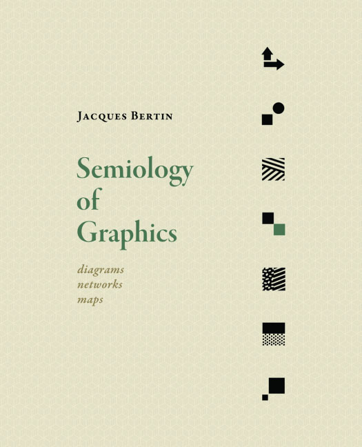
A theme of the conference is a celebration of the work of the renowned Jacques Bertin who died in 2010. His treatise on graphic semiology (symbol systems) forms the basis of much subsequent work in this area and had a major impact on data processing and map design in France and more widely. A keynote on this theme can be found in the ICA special issue of The Cartographic Journal. Two further sessions on Monday afternoon and a panel discussion were also devoted to Bertin. 

The conference centre in Paris is an impressive venue, with excellent facilities and has easy access to the Paris public transport system, so delegates are scattered across the city. We are not a big conference for this centre, so having stood in a long queue to pick up the sandwich lunch, you either stand or sit on the floor to eat it as apparently we do not reach the required threshold to get tables and chairs!

David Forrest PhD FBCart.S
School of Geographical & Earth Sciences
University of Glasgow

Blog List